A Disastrous Drive Along the Mersey
29th September 2025
I usually come to Liverpool on the train. But due to Huddersfield Station being closed yesterday and I was coming for a week, I decided to come in the car (which also means I could bring more stuff with me).
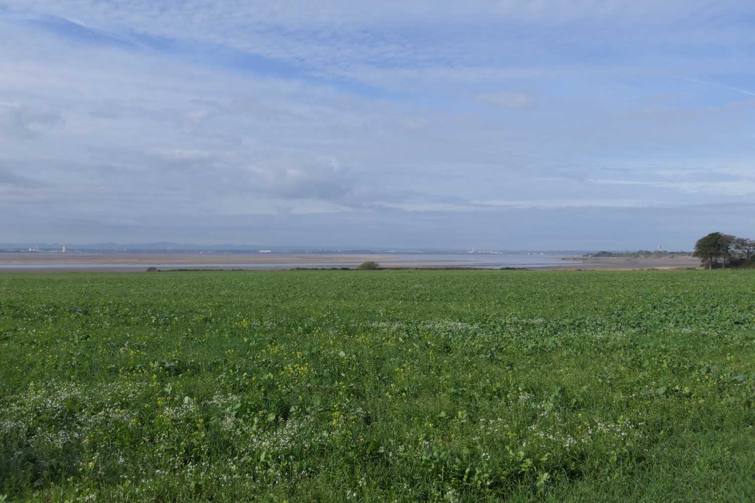
Today I thought I’d drive out to some of the hard to get to (at least by public transport) locations on the River Mersey to take some photos. The stretch I was interested in was from the east end of the Liverpool airport runway to Widnes and part of Runcorn. It was a total disaster; I just didn’t do enough research.
Liverpool Airport Runway
The OS Explorer map for the area shows there is a road down the eastern side of the airport. I thought it might provide a location for taking photos of planes taking off and landing. The road has disappeared, my map was out of date, so no photos.
As I write this, I’ve been using Google Earth to view the area. It shows that you can get close to the end of the runway and there’s a viewing platform. Explorer maps are very useful, but as I found out, they can be out of date.
Hale Lighthouse
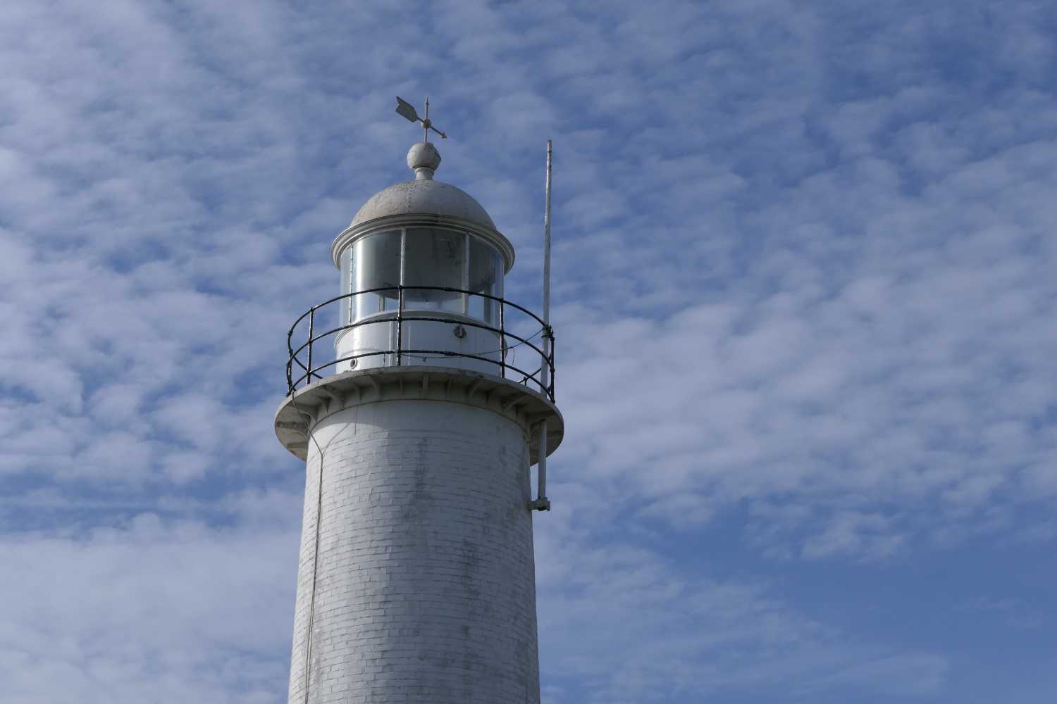
Next up was Hale Lighthouse on the banks of the Mersey, another difficult place to get to without a car. The lighthouse is very difficult to photograph because it’s part of a house and is surrounded by high fences and a big tree (there’s a photo of the top of it below). A decent photo might be possible from the beach, but you need to climb down a dangerous crumbling bank, so not for me.
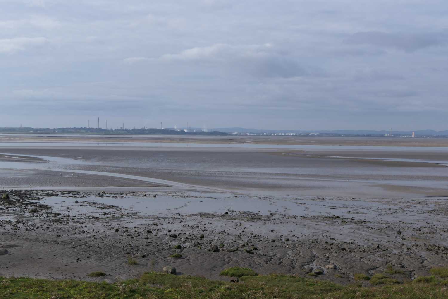
The photos above and below show the river near the lighthouse, it’s very wide here.
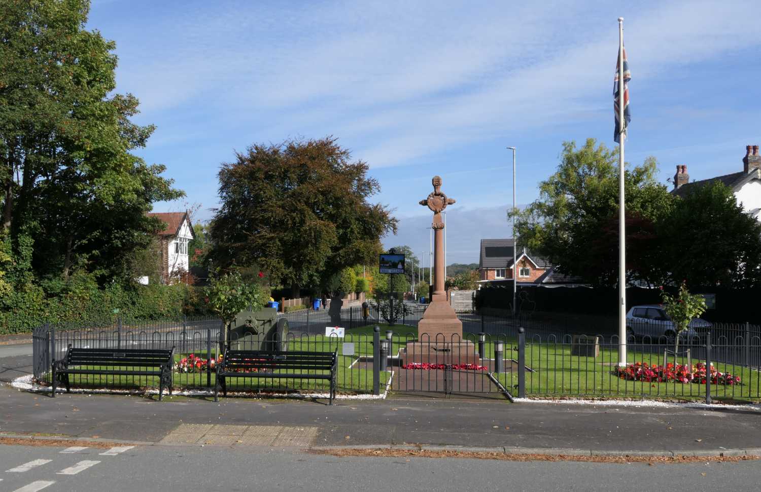
The Hale war memorial.
After Hale, I was hoping to get down to the river at various places between Hale and Widnes. This seemed to be impossible due to all the factories there.
Or that’s what I thought on the day. While writing this I did a bit of research. Looking at my explorer map, I noticed a nature reserve called Pickering’s Pasture, it is clearly marked as one, with parking. It’s easy to get to, just follow the road from Hale to Widnes and look for the Mersey View pub. Turn right immediately after it and follow the road (there is also a brown sign pointing to it). I don’t know how I missed it, it’s clearly marked on the map.
Manchester Ship Canal Swing Bridge
In Runcorn, there is an interesting swing bridge over the canal that I wanted to photograph, called the Old Quay Bridge. There’s also a nature reserve called Wigg Island there. I suspected there are some interesting photos of the Runcorn/Widnes bridges from there. There are (I’ve seen one on the internet).
However, I couldn’t find the bridge, I got lost. So, I gave up as I was pissed off and in need of a pint. I headed back to Liverpool (across the new bridge, which is amazing), parked the car at the sister’s and met my friend John for some well needed bevvies at the Augustus John.
Research Required
Clearly, I didn’t research this drive properly. Looking at the explorer map, there is a note saying the old Runcorn bridge is due to re-open in 2019, six years ago! I usually pinpoint locations using Google Earth and Google Street view, I didn’t. I also look for websites giving information about the places I visit, not this time.
The explorer map shows a foot path along the Mersey from the Widnes side of the old bridge which looks useful for photos of the railway bridge, missed that as well!
It won’t happen again.
So, I need to return, in the car, preferably on a bright sunny day.
Update 2nd March 2026
I tried again today and had a lot more luck, I researched it properly this time. See this journal post.